Club Burney: Difference between revisions
From The Urban Dead Wiki
Jump to navigationJump to search
mNo edit summary |
No edit summary |
||
| Line 21: | Line 21: | ||
===History=== | ===History=== | ||
Before the zombie outbreak it was known for its numerous punk concerts, from local bands to the big names. After the incident, however, the number of bands that dare to play here keeps decreasing. | |||
===Barricade Policy=== | ===Barricade Policy=== | ||
Revision as of 15:35, 21 September 2011
| Club Burney " ... North Blythville looks clear ... can't see a single ruined building ... " Soccerfan667 (talk) 06:05, 20 October 2021 (UTC)
|
| Club Burney
North Blythville [23, 62]
Basic Info:
|
Club Burney
Description
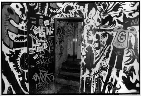
Punk rock club, where the (A)narcho-Punk Society members use to hang around and host punk festivals.
History
Before the zombie outbreak it was known for its numerous punk concerts, from local bands to the big names. After the incident, however, the number of bands that dare to play here keeps decreasing.
Barricade Policy
Maintain at EHB in accordance with the North Blythville Barricade Plan
Current Status
Generater without fuel.
| This page, Club Burney, is a locations stub. Please help us to improve the wiki by contributing to this page. Be sure the following information is added to the page: coordinates, suburb, 9 block map (or 16 block map for large buildings), description, barricading policy, and history. Please refer to the Location Style Guide. |
