Hilborn Walk: Difference between revisions
From The Urban Dead Wiki
Jump to navigationJump to search
Giles Sednik (talk | contribs) (creating unmerged location) |
No edit summary |
||
| (4 intermediate revisions by 2 users not shown) | |||
| Line 11: | Line 11: | ||
SW_location=[[Hartry Crescent|Hartry Crescent]]|SW_color=Street| | SW_location=[[Hartry Crescent|Hartry Crescent]]|SW_color=Street| | ||
S_location=[[the Fortune Building]]|S_color=Building| | S_location=[[the Fortune Building]]|S_color=Building| | ||
SE_location=[[Blight Park|Blight Park]]|SE_color=Park | SE_location=[[Blight Park (Dunell Hills)|Blight Park]]|SE_color=Park | ||
}} | }} | ||
[[File:34248943.jpg]] | |||
===Description=== | ===Description=== | ||
A long-time [[List of Revivification Points#D|revive point]] upheld by the [[Department of Emergency Management]]. | |||
===History=== | ===History=== | ||
Latest revision as of 05:52, 7 June 2024
| Hilborn Walk
Dunell Hills [7,33]
Basic Info:
|
Description
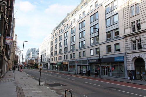
A long-time revive point upheld by the Department of Emergency Management.
