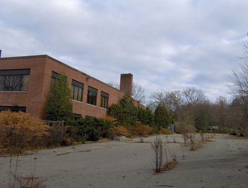
Lavor Alley School
| Lavor Alley School |
| Lavor Alley School
Pitneybank [82, 49]
Basic Info:
|
 |
Center Of Learning |
| This location qualifies as a Center of Learning & is considered a neutral zone for all the supporters of this policy. According to the policy, libraries, schools, zoos, and museums in the city of Malton are considered safe places. No survivor in one of these locations may be killed for any reason unless that survivor is a specified enemy. |
Lavor Alley School
Description
The building is a great place for shelter against a zombie apocalypse. The school has fences that previously used to keep students in, now used to keep zombies out. The school cafeteria holds years worth of food, from pizza to mystery meat. Lockers are used for barricades and for holding holding important equipment. Each classroom is used as a bedroom. The library holds books which are used to gain knowledge. The PE field is used as a target practice arena.
History
The school has been around for years but all information was lost during the Great Panic. All is known is that it has been used as shelter by varoius other groups.
Barricade Policy
It is best to keep the building at EHB. All surrouding buildings are VSB++ so those with free running can enter at ease.
Current Status
Currently it is not powered but in survivor's hands.
News
February 2009
| This page, Lavor Alley School, is a locations stub. Please help us to improve the wiki by contributing to this page. Be sure the following information is added to the page: coordinates, suburb, 9 block map (or 16 block map for large buildings), description, barricading policy, and history. Please refer to the Location Style Guide. |
