Gibbes Drive Fire Station
From The Urban Dead Wiki
Jump to navigationJump to search
| Gibbes Drive Fire Station VSB++ Sushieraser (talk) 13:44, 15 July 2021 (UTC)
|
| Gibbes Drive Fire Station
Kinch Heights [48, 86]
Basic Info:
|
Description
A rather isolated Fire Station, away from the tri-station to its south-west. Gibbes Drive was so named for the street it's bordered on, and has mantained no out-of-the-ordinary features. It was disbanded in the early weeks of the outbreak, and is now used as a random safehouse.
Barricade Policy
- VSB+2
Current Status
- unknown
History
- unknown
Malton Department of Emergency Management Information
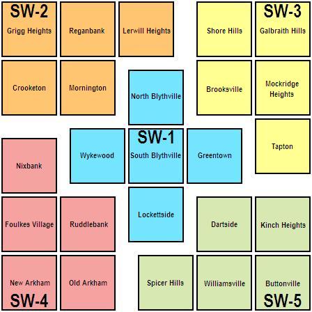
Kinch Heights is in District Five of the Southwest Division of the Department of Emergency Management.
| This page, Gibbes Drive Fire Station, is a locations stub. Please help us to improve the wiki by contributing to this page. Be sure the following information is added to the page: coordinates, suburb, 9 block map (or 16 block map for large buildings), description, barricading policy, and history. Please refer to the Location Style Guide. |

