Halse Crescent Police Department
| Halse Crescent Police Department VSB, lit. AndyMatthews (talk) 03:33, 6 December 2024 (UTC)
|
| Halse Crescent Police Department
Darvall Heights [20,20]
Basic Info:
|
Description
Halse Crescent Police Department (also called Halse Crescent) is one of three Police Departments in Darvall Heights (the others being the Tayler Lane and Crossman Grove Police Departments). Halse Crescent is in the far northwest corner of the suburb, and borders on Gatcombeton, Judgewood, and Chudleyton.
History
Halse Crescent is bordered almost entirely by Streets and Parks, neither of which allow Free Running. The only Free Running-allowed ways of entry into Halse Crescent are through the Brodribb Building in Darvall Heights, or the Whish Building in Gatcombeton.
Barricade Policy
Building should remain Extremely Heavily Barricaded at all times.
Current Status
7th FEB 2008: At this time the building is heavily Barricaded and no sign of the Rational Responders. Several small groups of zombies sighted South, possibly heading towards Caigar Mall. The P.D building was found ruined and several bodies inside and outside. No reports or knowledge of what has happened here or to the Rational Responders. -Leonel Trent, currently overseeing its defense.
Halse Crescent has recently been restored and set up as the headquarters of the Rational Responders. The lights are on and a radio transmitter is set at 26.79MHz. Barricading is being maintained as high as possible, with entry possible through the Whish Building to the north.
There is frequent light zombie activity, but nothing too serious or coordinated.
20th JAN 2024 The building is now being kept at VSB++ w/ power whenever possible to serve as an entry & spawn point.
Malton Department of Emergency Management Information
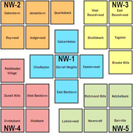
Darvall Heights is in District One of the Northwest Division of the Department of Emergency Management.
| This page, Halse Crescent Police Department, is a locations stub. Please help us to improve the wiki by contributing to this page. Be sure the following information is added to the page: coordinates, suburb, 9 block map (or 16 block map for large buildings), description, barricading policy, and history. Please refer to the Location Style Guide. |

