St. Emelia's Church (Crowbank)
| St. Emelia's Church
Crowbank [70, 63]
Basic Info:
|
St. Emelia's Church (Crowbank)
Description
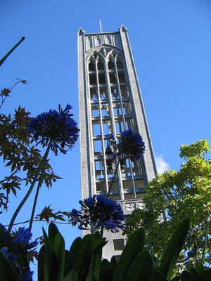
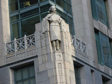
An art-deco cathedral with flourishes both classic and modern. Her buttresses look to have survived multiple zombie infestations with just the one crack.
History
Once home to a virulent form of Catholicism that held solitary flight as the highest form of prayer before the Trinity, this church was one of the first to be abandoned, the nuns originally residing there taking off in their individual planes and never seen again. Since, it has become home to a small commune of drunken monks known as the Brotherhood of Jesus Christ Carpenter (BOJCC) who seem to believe that carpentry, not flight, is the way to God.
Shortly before the quarantine, the Cathedral of St. Emilia was found to have strangely high levels of electromagnetism in its foundation and composite stones, as well as a frighteningly high level of radon; this could explain the eccentric beliefs it tends to foster.
Barricade Policy
St. Emilia's is to remain at VSB++ in order to allow all needful survivors access.
Current Status
July 20th 2008: St. Emilia's is up and functioning. Beer taps have been installed in the confessional, and they are open and frothy for the cessation of your guilt and pain.
July 15th 2008: An alliance has been drawn with Club Head (Club Head)) to the north. Supplemental holy water (beer) available there.
| This page, St. Emelia's Church (Crowbank), is a locations stub. Please help us to improve the wiki by contributing to this page. Be sure the following information is added to the page: coordinates, suburb, 9 block map (or 16 block map for large buildings), description, barricading policy, and history. Please refer to the Location Style Guide. |

