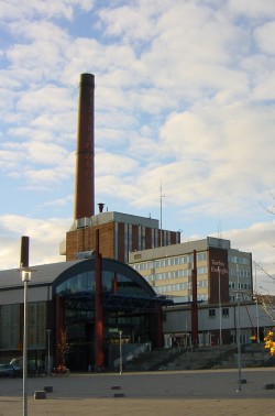
Factory 39,79: Difference between revisions
From The Urban Dead Wiki
Jump to navigationJump to search
mNo edit summary |
AndyMatthews (talk | contribs) No edit summary |
||
| Line 1: | Line 1: | ||
{{User:DangerReport/ | {{User:DangerReport/{{PAGENAME}}}} | ||
{{Locationblock| | {{Locationblock| | ||
suburb=Greentown| | suburb=Greentown| | ||
Latest revision as of 05:59, 8 October 2024
| Factory 39,79 |
| a factory
Greentown [39, 79] Basic Info:
|
Factory 39,79
Description
| ||||||||||||||||||
History
A major industrial complex before the outbreak, extending into Tapton. It produced volumes of industrial quality pollutants, which made the residents of middle-class Greentown quite angry, leading to a few protests during and after it's construction. These days, however it is shut down, and only occasionally lit up.
Barricade Policy
Because factories in Greentown are considered safehouses, it should be barricaded to Extremely Heavily Barricaded. Survivors who have Free Running can enter next door at an VSB building. --Alice Cuinn 07:23, 4 June 2007 (BST)
Current Status
| This page, Factory 39,79, is a locations stub. Please help us to improve the wiki by contributing to this page. Be sure the following information is added to the page: coordinates, suburb, 9 block map (or 16 block map for large buildings), description, barricading policy, and history. Please refer to the Location Style Guide. |
