User:Dr Cory Bjornson/Sandbox/6: Difference between revisions
From The Urban Dead Wiki
Jump to navigationJump to search
m (→Comparision) |
m (→Characters) |
||
| Line 100: | Line 100: | ||
| style="{{InfluenceMapColors/Moderate}}" align=center width=10% height=10% | [[Dunningwood]] | | style="{{InfluenceMapColors/Moderate}}" align=center width=10% height=10% | [[Dunningwood]] | ||
|- | |- | ||
| style="{{ | | style="{{MapGhostTown}}" align=center width=10% height=10% | [[Dunell Hills]] | ||
| style="{{MapGhostTown}}" align=center width=10% height=10% | [[West Becktown]] | | style="{{MapGhostTown}}" align=center width=10% height=10% | [[West Becktown]] | ||
| style="{{MapGhostTown}}" align=center width=10% height=10% | [[East Becktown]] | | style="{{MapGhostTown}}" align=center width=10% height=10% | [[East Becktown]] | ||
| Line 112: | Line 112: | ||
|- | |- | ||
| style="{{MapGhostTown}}" align=center width=10% height=10% | [[Owsleybank]] | | style="{{MapGhostTown}}" align=center width=10% height=10% | [[Owsleybank]] | ||
| style="{{ | | style="{{InfluenceMapColors/Strong}}" align=center width=10% height=10% | [[Molebank]] | ||
| style="{{MapGhostTown}}" align=center width=10% height=10% | [[Lukinswood]] | | style="{{MapGhostTown}}" align=center width=10% height=10% | [[Lukinswood]] | ||
| style="{{MapGhostTown}}" align=center width=10% height=10% | [[Havercroft]] | | style="{{MapGhostTown}}" align=center width=10% height=10% | [[Havercroft]] | ||
| style="{{MapGhostTown}}" align=center width=10% height=10% | [[Barrville]] | | style="{{MapGhostTown}}" align=center width=10% height=10% | [[Barrville]] | ||
| style=" | | style="background:DodgerBlue;border:solid 2px DodgerBlue" align=center width=10% height=10% | [[Ridleybank]] | ||
| style="{{MapGhostTown}}" align=center width=10% height=10% | [[Pimbank]] | | style="{{MapGhostTown}}" align=center width=10% height=10% | [[Pimbank]] | ||
| style="{{MapGhostTown}}" align=center width=10% height=10% | [[Peppardville]] | | style="{{MapGhostTown}}" align=center width=10% height=10% | [[Peppardville]] | ||
| Line 127: | Line 127: | ||
| style="{{MapGhostTown}}" align=center width=10% height=10% | [[Shore Hills]] | | style="{{MapGhostTown}}" align=center width=10% height=10% | [[Shore Hills]] | ||
| style="{{MapGhostTown}}" align=center width=10% height=10% | [[Galbraith Hills]] | | style="{{MapGhostTown}}" align=center width=10% height=10% | [[Galbraith Hills]] | ||
| style=" | | style="background:DodgerBlue;border:solid 2px DodgerBlue" align=center width=10% height=10% | [[Stanbury Village]] | ||
| style="{{MapGhostTown}}" align=center width=10% height=10% | [[Roftwood]] | | style="{{MapGhostTown}}" align=center width=10% height=10% | [[Roftwood]] | ||
| style=" | | style="background:DodgerBlue;border:solid 2px DodgerBlue" align=center width=10% height=10% | [[Edgecombe]] | ||
| style="{{MapGhostTown}}" align=center width=10% height=10% | [[Pegton]] | | style="{{MapGhostTown}}" align=center width=10% height=10% | [[Pegton]] | ||
| style="{{MapGhostTown}}" align=center width=10% height=10% | [[Dentonside]] | | style="{{MapGhostTown}}" align=center width=10% height=10% | [[Dentonside]] | ||
|- | |- | ||
| style=" | | style="background:DodgerBlue;border:solid 2px DodgerBlue" align=center width=10% height=10% | [[Crooketon]] | ||
| style="{{MapGhostTown}}" align=center width=10% height=10% | [[Mornington]] | | style="{{MapGhostTown}}" align=center width=10% height=10% | [[Mornington]] | ||
| style="{{MapGhostTown}}" align=center width=10% height=10% | [[North Blythville]] | | style="{{MapGhostTown}}" align=center width=10% height=10% | [[North Blythville]] | ||
| Line 174: | Line 174: | ||
| style="{{MapGhostTown}}" align=center width=10% height=10% | [[Hollomstown]] | | style="{{MapGhostTown}}" align=center width=10% height=10% | [[Hollomstown]] | ||
| style="{{MapGhostTown}}" align=center width=10% height=10% | [[Danversbank]] | | style="{{MapGhostTown}}" align=center width=10% height=10% | [[Danversbank]] | ||
| style=" | | style="background:DodgerBlue;border:solid 2px DodgerBlue" align=center width=10% height=10% | [[Whittenside]] | ||
| style="{{MapGhostTown}}" align=center width=10% height=10% | [[Miltown]] | | style="{{MapGhostTown}}" align=center width=10% height=10% | [[Miltown]] | ||
|} | |} | ||
Revision as of 04:17, 10 January 2009
Sand Dunes
Comparision
oriented
news source
₪
₪
Running
Debug
Switch
Code
Hai Wurlde.
Evidently PHP will not run, what did I expect. Then again the structure of MediaWiki probably wouldn't let it, nor would they want it to.
I believe JavaScript is the same story, need to verify.
Diagnostic II
ToaI I
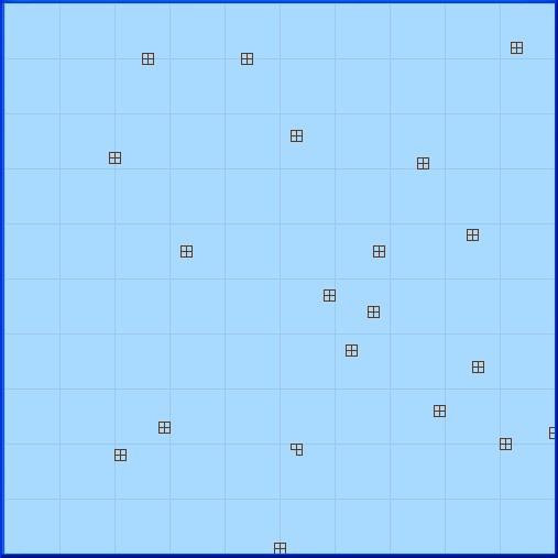
Each mall has its status shown graphically next to its location. The information is taken automatically from the Mall Information Centre. The same information, plus Scenteral Intelligence Map and suburb information, is combined on the Omnimap.
ToaI II
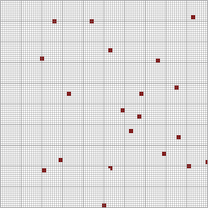
Graphical Representation of the Mall Locations
Characters
SoI
| Chancelwood | Earletown | Rhodenbank | Dulston |
| Pashenton | Rolt Heights | Pescodside | |
| Santlerville | Gibsonton | Dunningwood |
lolSig
|
1 2 |
| 0 | |
| 0 |

