User:Dr Cory Bjornson/Sandbox/6: Difference between revisions
From The Urban Dead Wiki
Jump to navigationJump to search
mNo edit summary |
m (→CharTracker) |
||
| Line 67: | Line 67: | ||
<!-- <nowiki> {{subst:CURRENTYEAR}}-{{subst:CURRENTMONTH}}-{{subst:CURRENTDAY2}} </nowiki> --> | <!-- <nowiki> {{subst:CURRENTYEAR}}-{{subst:CURRENTMONTH}}-{{subst:CURRENTDAY2}} </nowiki> --> | ||
|- | |- | ||
| style="{{ | | style="{{InfluenceMapColors/Strong}}" align=center width=10% height=10% | [[Dakerstown]] | ||
| style="{{MapGhostTown}}" align=center width=10% height=10% | [[Jensentown]] | | style="{{MapGhostTown}}" align=center width=10% height=10% | [[Jensentown]] | ||
| style="{{MapGhostTown}}" align=center width=10% height=10% | [[Quarlesbank]] | | style="{{MapGhostTown}}" align=center width=10% height=10% | [[Quarlesbank]] | ||
| Line 76: | Line 76: | ||
| style="{{MapGhostTown}}" align=center width=10% height=10% | [[Earletown]] | | style="{{MapGhostTown}}" align=center width=10% height=10% | [[Earletown]] | ||
| style="{{MapGhostTown}}" align=center width=10% height=10% | [[Rhodenbank]] | | style="{{MapGhostTown}}" align=center width=10% height=10% | [[Rhodenbank]] | ||
| style=" | | style="{InfluenceMapColors/Moderate}}" align=center width=10% height=10% | [[Dulston]] | ||
|- | |- | ||
| style="{{ | | style="{{InfluenceMapColors/Weak}}" align=center width=10% height=10% | [[Roywood]] | ||
| style="{{MapGhostTown}}" align=center width=10% height=10% | [[Judgewood]] | | style="{{MapGhostTown}}" align=center width=10% height=10% | [[Judgewood]] | ||
| style="{{MapGhostTown}}" align=center width=10% height=10% | [[Gatcombeton]] | | style="{{MapGhostTown}}" align=center width=10% height=10% | [[Gatcombeton]] | ||
| Line 87: | Line 87: | ||
| style="{{MapGhostTown}}" align=center width=10% height=10% | [[Pashenton]] | | style="{{MapGhostTown}}" align=center width=10% height=10% | [[Pashenton]] | ||
| style="{{MapGhostTown}}" align=center width=10% height=10% | [[Rolt Heights]] | | style="{{MapGhostTown}}" align=center width=10% height=10% | [[Rolt Heights]] | ||
| style=" | | style="{InfluenceMapColors/Moderate}}" align=center width=10% height=10% | [[Pescodside]] | ||
|- | |- | ||
| style="{{MapGhostTown}}" align=center width=10% height=10% | [[Peddlesden Village]] | | style="{{MapGhostTown}}" align=center width=10% height=10% | [[Peddlesden Village]] | ||
| Line 98: | Line 98: | ||
| style="{{MapGhostTown}}" align=center width=10% height=10% | [[Santlerville]] | | style="{{MapGhostTown}}" align=center width=10% height=10% | [[Santlerville]] | ||
| style="{{MapGhostTown}}" align=center width=10% height=10% | [[Gibsonton]] | | style="{{MapGhostTown}}" align=center width=10% height=10% | [[Gibsonton]] | ||
| style="{ | | style="{InfluenceMapColors/Moderate}}" align=center width=10% height=10% | [[Dunningwood]] | ||
|- | |- | ||
| style="{{MapGhostTown}}" align=center width=10% height=10% | [[Dunell Hills]] | | style="{{MapGhostTown}}" align=center width=10% height=10% | [[Dunell Hills]] | ||
| Line 116: | Line 116: | ||
| style="{{MapGhostTown}}" align=center width=10% height=10% | [[Havercroft]] | | style="{{MapGhostTown}}" align=center width=10% height=10% | [[Havercroft]] | ||
| style="{{MapGhostTown}}" align=center width=10% height=10% | [[Barrville]] | | style="{{MapGhostTown}}" align=center width=10% height=10% | [[Barrville]] | ||
| style="{{ | | style="{{MapGhostTown}}" align=center width=10% height=10% | [[Ridleybank]] | ||
| style="{{MapGhostTown}}" align=center width=10% height=10% | [[Pimbank]] | | style="{{MapGhostTown}}" align=center width=10% height=10% | [[Pimbank]] | ||
| style="{{MapGhostTown}}" align=center width=10% height=10% | [[Peppardville]] | | style="{{MapGhostTown}}" align=center width=10% height=10% | [[Peppardville]] | ||
| style="{{MapGhostTown}}" align=center width=10% height=10% | [[Pitneybank]] | | style="{{MapGhostTown}}" align=center width=10% height=10% | [[Pitneybank]] | ||
| style="{{ | | style="{{InfluenceMapColors/Strong}}" align=center width=10% height=10% | [[Starlingtown]] | ||
|- | |- | ||
| style="{{MapGhostTown}}" align=center width=10% height=10% | [[Grigg Heights]] | | style="{{MapGhostTown}}" align=center width=10% height=10% | [[Grigg Heights]] | ||
| style="{{MapGhostTown}}" align=center width=10% height=10% | [[Reganbank]] | | style="{{MapGhostTown}}" align=center width=10% height=10% | [[Reganbank]] | ||
| style="{{MapGhostTown}}" align=center width=10% height=10% | [[Lerwill Heights]] | | style="{{MapGhostTown}}" align=center width=10% height=10% | [[Lerwill Heights]] | ||
| style="{{ | | style="{{MapGhostTown}}" align=center width=10% height=10% | [[Shore Hills]] | ||
| style="{{MapGhostTown}}" align=center width=10% height=10% | [[Galbraith Hills]] | | style="{{MapGhostTown}}" align=center width=10% height=10% | [[Galbraith Hills]] | ||
| style="{{MapGhostTown}}" align=center width=10% height=10% | [[Stanbury Village]] | | style="{{MapGhostTown}}" align=center width=10% height=10% | [[Stanbury Village]] | ||
| style="{{ | | style="{{InfluenceMapColors/Strong}}" align=center width=10% height=10% | [[Roftwood]] | ||
| style="{{MapGhostTown}}" align=center width=10% height=10% | [[Edgecombe]] | | style="{{MapGhostTown}}" align=center width=10% height=10% | [[Edgecombe]] | ||
| style="{{MapGhostTown}}" align=center width=10% height=10% | [[Pegton]] | | style="{{MapGhostTown}}" align=center width=10% height=10% | [[Pegton]] | ||
| Line 147: | Line 147: | ||
| style="{{MapGhostTown}}" align=center width=10% height=10% | [[Wykewood]] | | style="{{MapGhostTown}}" align=center width=10% height=10% | [[Wykewood]] | ||
| style="{{MapGhostTown}}" align=center width=10% height=10% | [[South Blythville]] | | style="{{MapGhostTown}}" align=center width=10% height=10% | [[South Blythville]] | ||
| style="{{ | | style="{{InfluenceMapColors/Strong}}" align=center width=10% height=10% | [[Greentown]] | ||
| style="{{ | | style="{{MapGhostTown}}" align=center width=10% height=10% | [[Tapton]] | ||
| style="{{MapGhostTown}}" align=center width=10% height=10% | [[Kempsterbank]] | | style="{{MapGhostTown}}" align=center width=10% height=10% | [[Kempsterbank]] | ||
| style="{{MapGhostTown}}" align=center width=10% height=10% | [[Wray Heights]] | | style="{{MapGhostTown}}" align=center width=10% height=10% | [[Wray Heights]] | ||
| Line 160: | Line 160: | ||
| style="{{MapGhostTown}}" align=center width=10% height=10% | [[Dartside]] | | style="{{MapGhostTown}}" align=center width=10% height=10% | [[Dartside]] | ||
| style="{{MapGhostTown}}" align=center width=10% height=10% | [[Kinch Heights]] | | style="{{MapGhostTown}}" align=center width=10% height=10% | [[Kinch Heights]] | ||
| style="{{ | | style="{{MapGhostTown}}" align=center width=10% height=10% | [[West Grayside]] | ||
| style="{{MapGhostTown}}" align=center width=10% height=10% | [[East Grayside]] | | style="{{MapGhostTown}}" align=center width=10% height=10% | [[East Grayside]] | ||
| style="{{ | | style="{{MapGhostTown}}" align=center width=10% height=10% | [[Scarletwood]] | ||
| style="{{MapGhostTown}}" align=center width=10% height=10% | [[Pennville]] | | style="{{MapGhostTown}}" align=center width=10% height=10% | [[Pennville]] | ||
| style="{{MapGhostTown}}" align=center width=10% height=10% | [[Fryerbank]] | | style="{{MapGhostTown}}" align=center width=10% height=10% | [[Fryerbank]] | ||
Revision as of 23:26, 25 October 2008
Comparision
For a more survivor oriented news source, check out the Dulston Dispatch.
Running
Debug
Switch
JS/PHP
Diagnostic II
ToaI
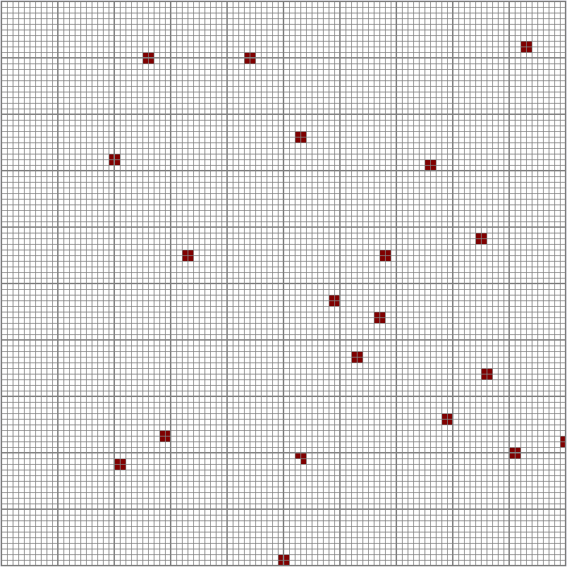
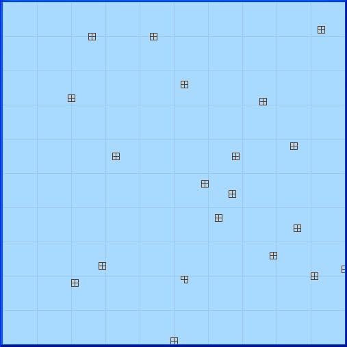
Each mall has its status shown graphically next to its location. The information is taken automatically from the Mall Information Centre. The same information, plus Scenteral Intelligence Map and suburb information, is combined on the Omnimap.
ToiI II
Graphical Representation of the Mall Locations

